Overview
Stage 1 of the GM Ringway trail uses canal towpaths, paths, parkland and the Trans Pennine Trail to trace an almost totally traffic-free route from the city centre to the greenbelt of the Mersey Valley.
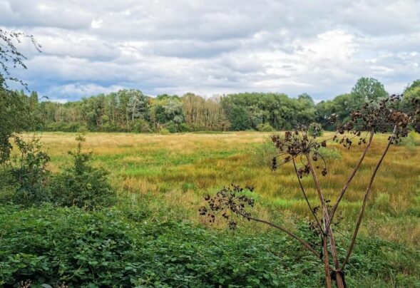
Note that on match days at Old Trafford, you will need to follow a diversion as indicated on the Plotaroute map. Also, contrary to what the name of this stage might imply, this stage takes you only to the Sale Water Park Metrolink station. Sale Water Park itself is actually explored on Stage 20 (Stretford – Manchester), the final stage of the GM Ringway.
The route can be followed, downloaded or printed using the mobile-friendly Plotaroute site. To use Plotaroute on your phone’s browser, simply click the map. Then, when you’re ready to start walking, click the tracker icon (bottom right) to show your position as you follow the route. We recommend carrying an additional power source and/or map when following online routes on your phone.
Note that on match days at Old Trafford, you will need to follow a diversion as indicated on the Plotaroute map.
Highlights include:
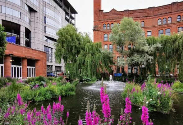
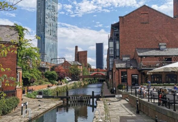
- The towpaths of the historic Rochdale and Bridgewater Canals
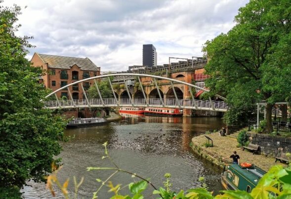
- Castlefield‘s industrial and transport-related heritage
- Iconic sports grounds at Old Trafford
- Longford Park, with its petting zoo, cafe and play areas
- The paths and lanes of Turn Moss and the Mersey Valley greenbelt.
Accessibility and facilities
Start point St Peter’s Square Metrolink M2 5PD
View start point on Google maps
End point Sale Water Park Metrolink M33 2LX
Most of the paths are very well-made and level, though there are steps when you leave the Bridgewater Canal, some short slopes along the canal, and a brief potentially muddy section in Turn Moss. Because of these factors, the complete walk is not wheelchair or pushchair-friendly. However, we have included a shorter step-free variant, between Old Trafford to Stretford Metrolink stations. We hope to identify and map more accessible sections of the GM Ringway when funding allows.
Public toilets including accessible facilities are available in the Town Hall Extension and in the Central Library (Monday to Saturday) near the start, at the cafe in Longford Park and at the end in Sale Water Park. Apart from in the city centre, refreshment opportunities are marked on the Plotaroute map.
How to get there
All stages of the GM Ringway can be accessed by public transport. This stage begins at St Peter’s Square Metrolink station and there are several bus and train services nearby. The stage finishes at Sale Water Park Metrolink. Currently (early 2023), passengers are allowed to travel with their dogs on Metrolink trams. However, if this is no longer possible, walkers with dogs can use bus services from either Sale or Chorlton to return to Manchester or elsewhere as shown on the Plotaroute map.
To work out how to get to and from the walk start and end points, click the Google Maps links on this page. Then click ‘Directions’ and enter your postcode or location in the relevant field. Then, for public transport options, click the train icon.