This step-free jaunt allows you to walk or wheel all the way around the lake of Sale Water Park.
Highlights include:
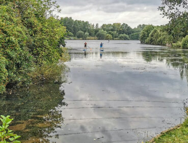
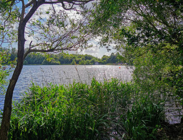
- A chance to watch the colourful dinghies and paddleboards on the popular lake
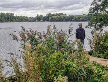
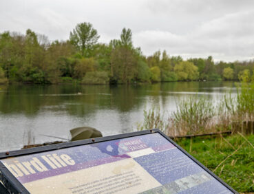
- Views over Broad Ees Dole Local Nature Reserve, frequented by a wide range of birds including grey herons and kingfishers
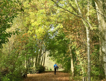
- A stroll along the tree-lined Barrow Brook.
Note that parts of the trail may be damp, muddy and slippery at any time of year and especially after periods of wet weather. Please bear this in mind when planning your trip.
Be sure to keep your dog on its lead in sensitive areas, which include upland areas such as moorland, wetlands and mosslands, farmland, and parkland. Keeping dogs on leads helps protect both livestock and wildlife, especially ground-nesting birds.
This walk is available on the user-friendly Go Jauntly walking app. Here, photographs and written directions will enable you to follow the route on your phone. You can also download a printable PDF of the directions from the same link.
Alternatively, you can follow the route (without written directions) on the mobile-friendly Plotaroute site. To use Plotaroute on your phone’s browser, simply click the map. Then, when you’re ready to start walking, click the tracker icon (bottom right) to show your position as you follow the route.
We recommend carrying an additional power source and/or map when following online routes on your phone. For any challenging routes, we would recommend that you also have access to and know how to read an Ordnance Survey map.
The entire route of this walk is very level, with no significant gradients. A mix of hard-surfaced and well-made dirt and gravel paths is used. These can, however, be slightly uneven in places and damp after wet weather. You may need to watch out for bikes on certain sections.
The paths and terrain encountered on this walk are shown and described on the Go Jauntly version of the walk, enabling you to make your own assessment of whether the route is accessible for you.
While we believe that the route is suitable for wheelchairs and pushchairs, we cannot guarantee this, so be prepared to retrace your steps if you encounter any problems. Parts of the route may, of course, be more difficult to navigate after wet weather. Please see our Shorter walks page for a selection of further step-free walks on the GM Ringway trail.
Metrolink trams used to reach the start and end point all offer step-free access to and from platforms and level access to and from the trams themselves.
Public toilets, including accessible facilities, are available at Sale Water Park according to Trafford Council. However, we have found that toilet availability cannot be guaranteed.
Refreshment opportunities are available en route at Tree Tops Cafe and at the Boathouse Restaurant, Bar & Grill. For location details, see the Plotaroute map.
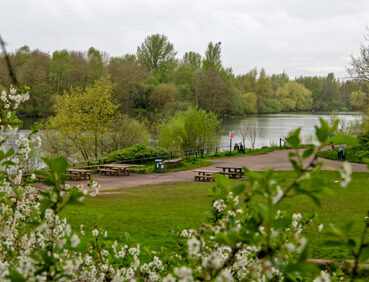
There are also several benches and picnic benches along the way.
As the GM Ringway is designed around the tram, train and bus network, we recommend the use of public transport to access the start and end points. However, we also provide tips for drivers below.
Start and end points
To work out how to get to and from the walk start and end point, simply click the link below to see the location in Google Maps. Then click ‘Directions’ and enter your starting location. For public transport options, click the train icon.
Start point: Sale Water Park tram stop M33 2LX
Alternatively, input the location shown on this page into the TfGM journey planner.
Public transport
The walk starts and finishes at Sale Water Park tram stop, served by Metrolink trams from Manchester city centre, Chorlton, Wythenshawe and Manchester Airport, with easy connections from other locations. Details of tram services (and connecting buses and trains) can be found on the TfGM journey planner.
Recommended tickets
If you are travelling only by tram, you will need a Metrolink ticket to cover the zones you travel through. You can check the price of these on the Bee Network website and then purchase your ticket from the machine at the stop or tap in and out with your bank card.
If you are travelling by a mix of buses, trains or trams, then a combined day ticket might be cheaper. Check the TfGM Tickets and passes page to find the best option (selecting ‘1 day and return’ as your answer to ‘How often would you be travelling?’).
Parking
Drivers are advised to park at Sale Water Park Metrolink Park & Ride, where there is parking for 285 cars and 16 disabled spaces.
We have no reports of any issues affecting this walk. Please let us know if you encounter any problems by completing this short form.