
Hollingworth Lake Circular
Est time: 1 hour 15 minutes (or 1 hour 40 minutes from station)
Distance: 2.3 miles / 3.7 km (or 3.2 miles / 5.2 km from station)
Ascent: 50 metres
Public transport: Train | Bus
Facilities: Toilet | Pub | Cafe

The GM Ringway is 200 miles (322 km) long and falls into four broad sections, each made up of five one-day stages:
Each of the 20 stages, which explore all ten boroughs of Greater Manchester, is easily accessible by public transport.
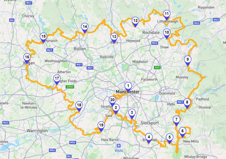
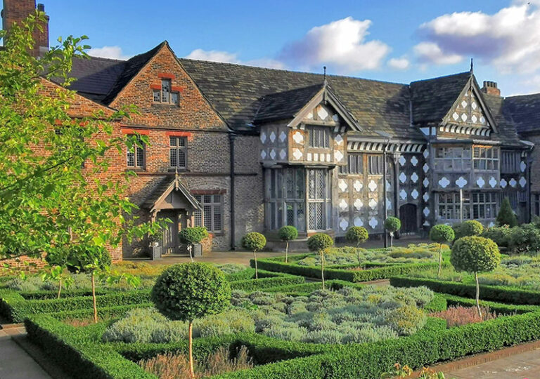
There are plenty of places to visit, eat, drink and stay on or near the GM Ringway trail. These include natural sites and country parks, museums and heritage attractions, and cafes, pubs and hotels. Click below to see a detailed map of the places you can visit on your next GM Ringway adventure.
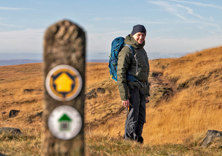
You can walk the GM Ringway either independently or by joining a guided walk. We’ve also provided a selection of shorter and step-free routes for those who want to sample part of the trail. This section of the website also includes some safety tips, accessibility information, and advice on getting to and from the trail. Please also note the trail terms and conditions, particularly the fact that any walks undertaken are at your own risk.
For those looking for a walk that samples part of the GM Ringway, our shorter walks are perfect. Covering all ten boroughs of Greater Manchester, each walk is accessible by public transport. What’s more, five of the routes are totally step-free.

Est time: 1 hour 15 minutes (or 1 hour 40 minutes from station)
Distance: 2.3 miles / 3.7 km (or 3.2 miles / 5.2 km from station)
Ascent: 50 metres
Public transport: Train | Bus
Facilities: Toilet | Pub | Cafe
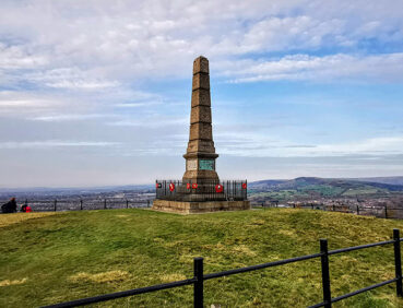
Est time: 2 hours 50 minutes
Distance: 4.6 miles / 7.5 km
Ascent: 211 metres
Public transport: Train
Facilities: Toilet | Pub | Cafe
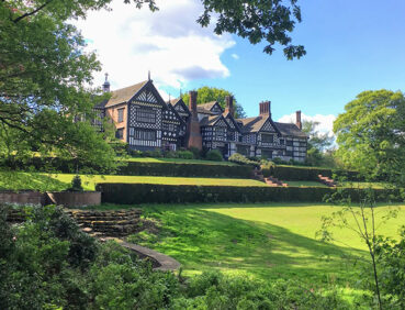
Est time: 1 hour 45 minutes
Distance: 3.3 miles / 5.3 km
Ascent: 50 metres
Public transport: Train | Bus
Facilities: Toilet | Pub | Cafe


Individuals, businesses, community groups and other organisations can all get involved in our inspiring project. If you’re interested in volunteering, organising an event, promoting your business, or sponsoring the trail, click below.
