
Ordnance Survey (OS) has recently marked 225 years since the publication of its first map, a landmark achievement which helped to establish the foundations of modern mapping.
The culmination of years of complex surveying work, the one inch to one mile 1801 map of Kent was created by using pioneering triangulation techniques and precision instruments which enabled accurate measurement of points across the countryside for the first time.
However, OS surveyors faced considerable challenges, from difficult terrain to marshland and bogs, as they worked to create a level of geographical detail not seen before.
And while the origins of OS’s first map lay in an urgent requirement to provide an accurate picture of the landscape – including roads, settlements, waterways and terrain – to help British forces prepare for a potential Napoleonic invasion, what began as a military necessity eventually become an essential resource for the entire nation.
Today, 225 years after the Kent OS map, the technology behind mapping has changed beyond recognition, and what would have taken surveyors years to map at the turn of the 19th century can now be completed in a matter of days.
Clearly, without detailed and accurate mapping, things like the GM Ringway also wouldn’t exist, so we would also like to wish OS’s first official map a very happy 225th birthday.
We also like how a Guardian editorial piece about the milestone summarised OS’s early mapping activities: “During the course of the 19th century, the entirety of the British Isles was meticulously mapped through fog, rain, wind and sun, in what was described as ‘a wild and arduous exercise’. The surveyors, armed with theodolites, measuring chains and notebooks, saw themselves as foot soldiers serving in the ranks of Reason as they brought intellectual order to the landscape.”
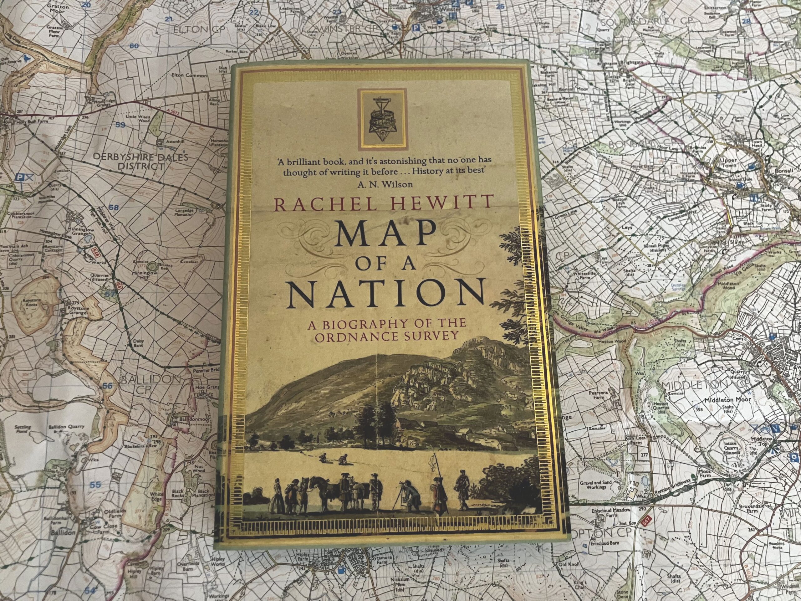
If you’re really curious about how Ordnance Survey was first established and developed, there’s a book called Map of Nation by Rachel Hewitt which documents the birth of the organisation in 1751, and runs right up to the dawn of Google Maps in the 21st century.
You can also read more about how the first official OS map was developed, and its background, here.

Project partners