Overview
This is one of the 20 stages of the GM Ringway – the new walking trail for Greater Manchester. Stage 5 takes us right to the edge of the Peak District via some very attractive landscapes. The route uses lovely paths to explore the National Trust’s Lyme Park estate and its famous hall. When Lyme Park is closed, you will need to follow the diversion north of the park directly to the main A6 road (cutting the route shorter by 2.5 miles / 4 km). Opening hours are shown on the National Trust website. Note that Lyme Park is also closed during very high winds. Please ensure that you will be able to complete all of the section through the National Trust estate (basically south of the rail line) during opening hours.
The route can be followed, downloaded or printed using the mobile-friendly Plotaroute site. To use Plotaroute on your phone’s browser, simply click the map. Then, when you’re ready to start walking, click the tracker icon (bottom right) to show your position as you follow the route. We recommend carrying an additional power source and/or map when following online routes on your phone.
Note that parts of the trail may be damp, muddy and slippery at any time of year and especially after periods of wet weather. Please bear this in mind when planning your trip.
Map and directions
This walk is available (without written directions) on the mobile-friendly Plotaroute app. To use Plotaroute on your phone’s browser, simply click the map. Then, when you’re ready to start walking, click the tracker icon (bottom right) to show your position as you follow the route. We recommend carrying an additional power source and/or map when following online routes on your phone.
Please check on this page for regular updates.
Highlights include
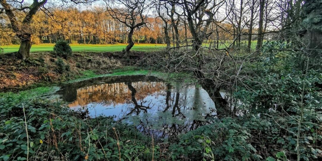
– Colourful forest paths in Middle Wood and Disleybank Wood
– Sections of the pretty Macclesfield Canal and Peak Forest Canal
– Quiet paths along Bollinghurst Brook
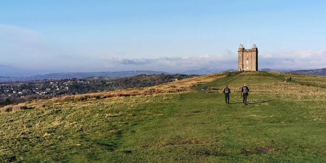
– Heritage and classic scenery in Lyme Park with its Grade I-listed hall
– Fine views towards Mellor Moor and the Peak from Marple Ridge
– The old textile-printing settlement of Strines.
Feedback on the route
To give any feedback or notify us of any issues with this route, please click on the button below
Accessibility and facilities
– Toilet facilities
– Cafe or pub nearby
– Dogs permitted (on a lead)
– Transport via bus, or train
Both route options include more ups and downs than the previous stages, especially in Lyme Park and Disleybank Wood. There will, of course, be muddy sections after wet weather. Because of the varied terrain, the overall walk is not wheelchair or pushchair-friendly. However, there are several well-surfaced and gently graded paths within Lyme Park; accessibility details can be found here. We will be adding step-free and shorter walks on parts of the GM Ringway over the next few months.
Public toilets including accessible facilities, as well as refreshments opportunities, can be found at the Timber Yard in Lyme Park.

How to get there
Start point Middlewood train station SK6 8AU
View start point on Google maps
End point Strines train station SK22 3AL
All stages of the GM Ringway can be accessed by public transport. This stage starts at Middlewood train station, served by direct trains from Manchester and Stockport. It finishes at Strines station with a service to Manchester (but not Stockport). From Stockport town centre, buses also run to High Lane, from where you can follow the Middlewood Way for about 0.5 miles/800m south to the Middlewood Station. At the end, buses also leave from Strines Road back to Stockport.
To work out how to get to and from the walk start and end points, click the Google Maps links on this page. Then click ‘Directions’ and enter your postcode or location in the relevant field. Then, for public transport options, click the train icon. Alternatively, input the postcodes shown on this page into the Traveline journey planner.