Overview
This is one of the 20 stages of the GM Ringway – the new walking trail for Greater Manchester. Stage 20 connects Stretford with Manchester city centre via a series of waterside paths and heritage sites. The route, quite different in character from Stage 1 of the trail, includes some little-known green spaces and an astonishing series of museums and historical attractions from every age, making it a worthwhile full-day outing.
This route has recently (in 2023) been substantially revised. Firstly, there is a longer section on the canal in Old Trafford, avoiding match-day diversions. Secondly, the Roman gardens in Castlefield are visited as a ‘loop’ so as to avoid closures during events at Castlefield Arena. And thirdly, the route has been improved by using Prince’s Bridge – a newly-opened footbridge across the Irwell from Salford into Manchester.
Note that parts of the trail may be damp, muddy and slippery at any time of year and especially after periods of wet weather. Please bear this in mind when planning your trip.
Map and directions
This walk is available on the user-friendly Go Jauntly walking app. Here, photographs and written directions will enable you to follow the route on your phone. You can also download a printable PDF of the directions from the same link.
Alternatively, you can follow the route (without written directions) on the mobile-friendly Plotaroute app. To use Plotaroute on your phone’s browser, simply click the map. Then, when you’re ready to start walking, click the tracker icon (bottom right) to show your position as you follow the route.
We recommend carrying an additional power source and/or map when following online routes on your phone. For any challenging routes, we would recommend that you also have access to and know how to read an Ordnance Survey map.
Feedback on the route
To give any feedback or notify us of any issues with this route, please click on the button below

Highlights include
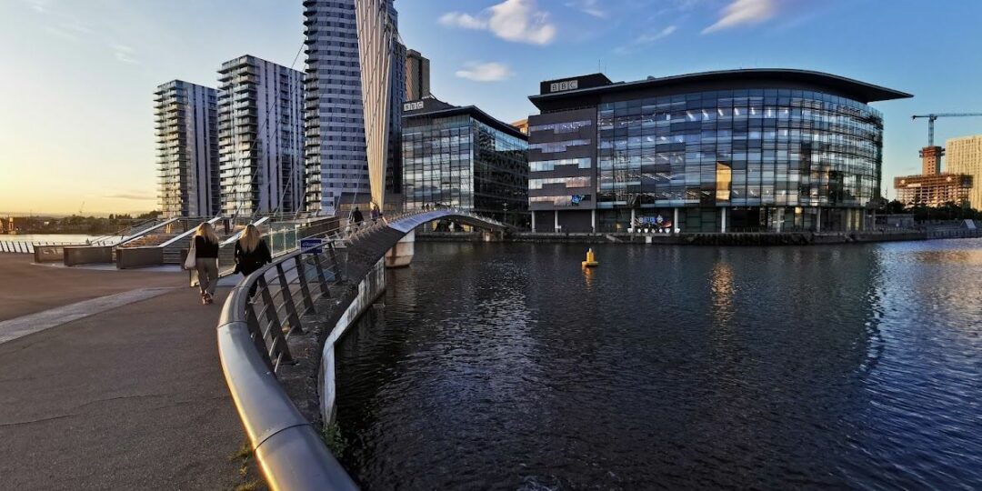
– The vibrant waterside attractions of MediaCityUK and Salford Quays
– The Grade I-listed Ordsall Hall, a 15th-century manor house surrounded by Elizabethan gardens
– Riverside paths along the Irwell, the surprisingly peaceful waterway that separates the cities of Manchester and Salford
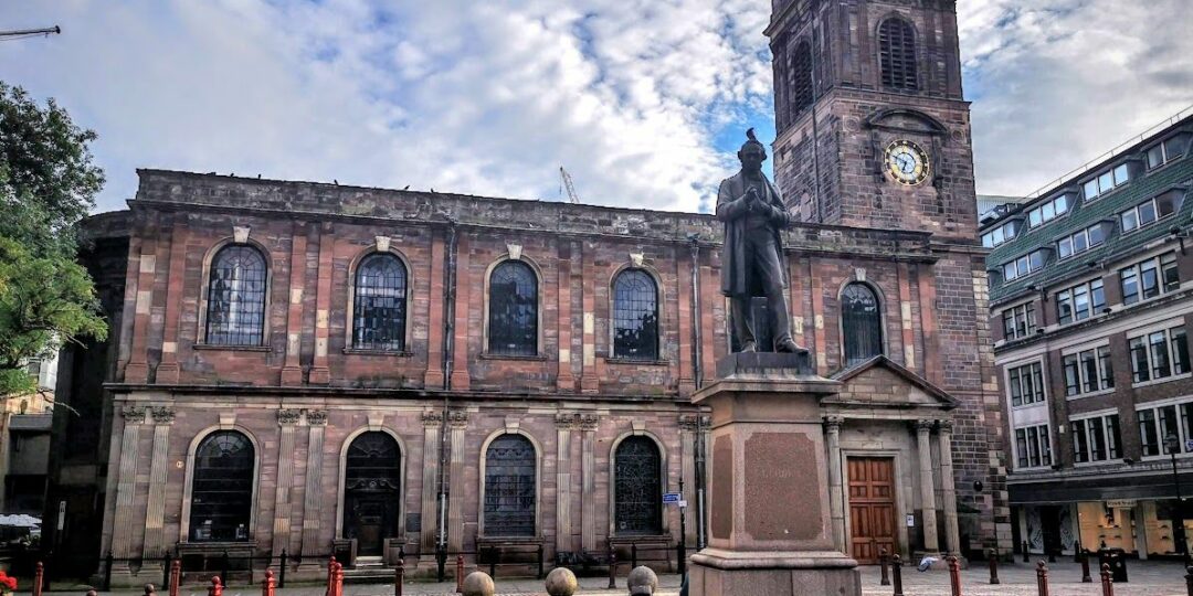
– A wander between green and traffic-free spaces of the city centre, including Castlefield’s Roman gardens and fort and Manchester’s Medieval Quarter.
Accessibility and facilities
– Cafe or pub nearby
– Dogs permitted (on a lead)
– Toilet facilities
– Transport via Metrolink, bus, or train
Two shorter options are shown in the city centre for those who wish to save some of the sightseeing for another day.
While some sections may not be fully wheelchair or pushchair-friendly, much of this route is hard-paved and uses canal towpaths (shared with cycles), pavements and well-made paths at Salford Quays and in the green spaces along the route. We will be adding step-free and shorter walks on parts of the GM Ringway over the next few months.
Toilet facilities are available for customers at the many cafes and pubs along the route, some of which are shown on the Plotaroute map. Accessible toilets are also available at Stretford Mall near the start (during opening hours), in the Lowry arts centre at MediaCityUK, and in the Town Hall Extension right at the end of the route.
How to get there
Start point Stretford Metrolink M32 8JN
View start point on Google maps
End point St Peter’s Square Metrolink M2 5PD
All stages of the GM Ringway can be accessed by public transport. This stage links Stretford Metrolink station, offering direct tram and bus connections to multiple locations, with St Peter’s Square Metrolink station in the city centre, close to all of the major bus and train hubs.
To work out how to get to and from the walk start and end points, click the Google Maps links on this page. Then click ‘Directions’ and enter your postcode or location in the relevant field. Then, for public transport options, click the train icon. Alternatively, input the postcodes shown on this page into the Moovit app journey planner.